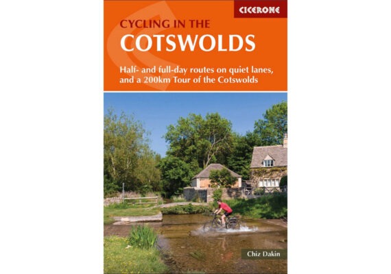
Guidebook updates are a little like buses, when one one arrives, often another isn’t far behind! There are […]
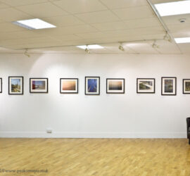
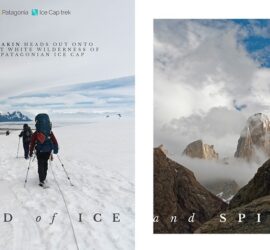
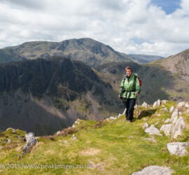
A larger slideshow of some of my most recent images. Plus link to my professional portfolios (which cover UK hills and coasts, Derbyshire, Polar Regions and Northern Lights, Patagonia and many more topics/regions.)
Read more »I write walking and cycling routes and outdoors articles for several publishers, including Trail, The Great Outdoors, Outdoors Enthusiast, Camping and Caravanning Magazine, Cicerone Press, Ammonite Press
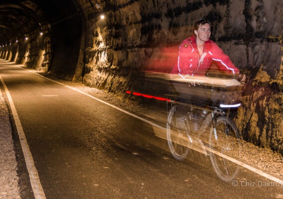
Read more »My outdoors blog - covering mostly walking, cycling, running, wildcamping, ski-touring, photography and video.
Read more » Guidebook updates are a little like buses, when one one arrives, often another isn’t far behind! There are […]
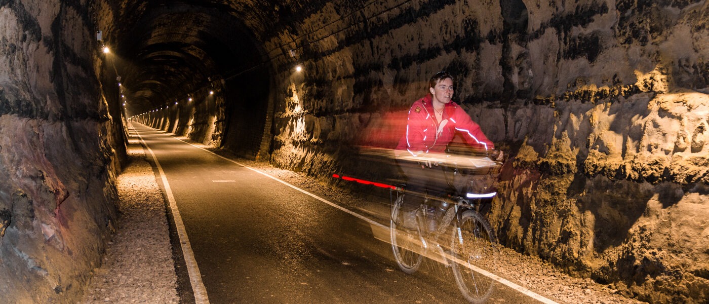
Route 10 – Batheaston: Please DO NOT attempt to cross the A46 – we no longer recommend the […]
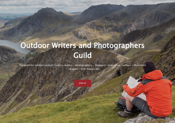
Wow, I just won an award for designing and developing a website! The Outdoor Writers and Photographers Guild […]
This morning I spent a long while trying to get my camera to talk to my smartphone. Eventually […]
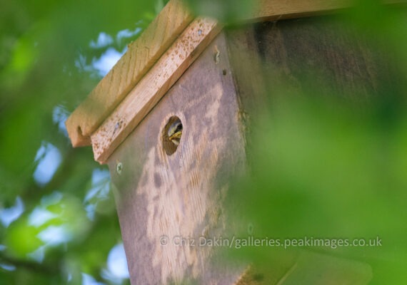
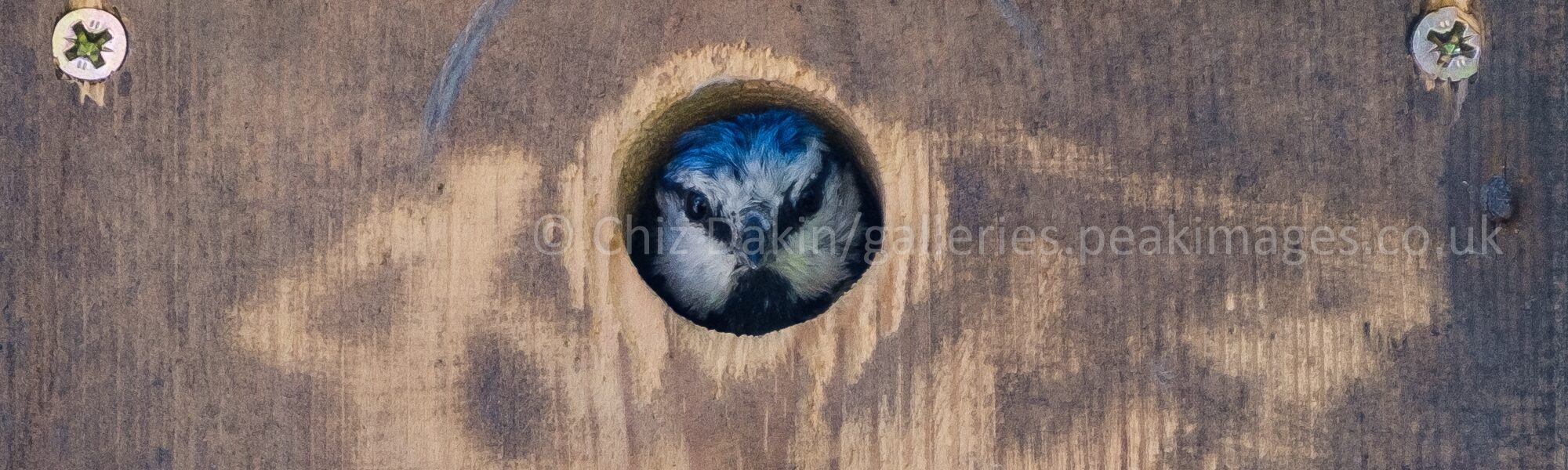
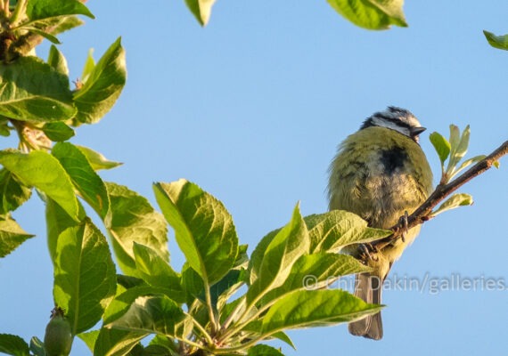
We have confirmation that there are definitely chicks in the nest – a pale yellow head has peeked […]
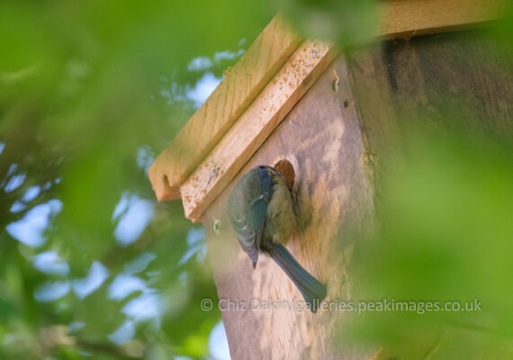
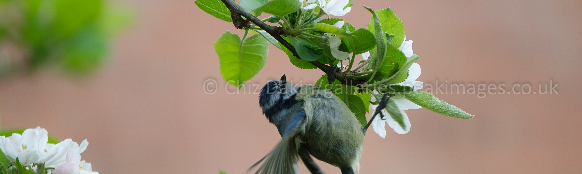
Over the last few days we’ve noticed a big increase in the number of times the parents are […]